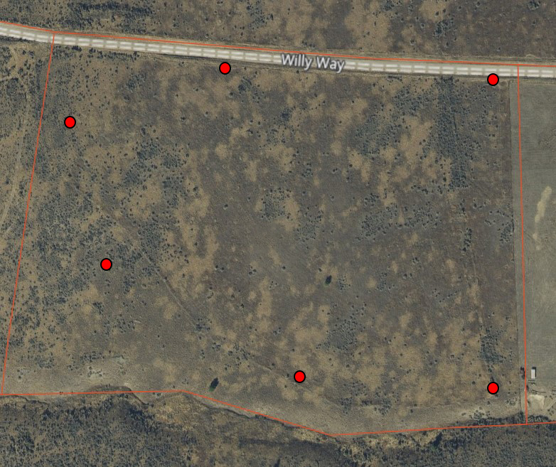
I have a project that is a large land listing. Is it possible to put in a photo/image of the land from a satellite view, and then put hotspots for 2D photos, instead of 3d?
Like the planix floorplan but land instead and then denoting where the 2d photos have been taken on the property.
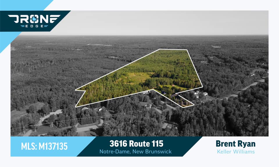
While I think these aerial images with boundaries overlaid look great, I fear generating them because I worry of possible legal issues that might arise.
Maybe my concern is unfounded but I’d rather not be snarled in a boundary dispute because of Photoshop overlay that I placed incorrectly over a picture.
@DanFleury I don’t have experience being called into a dispute concerning a map overlay, but as for your concern, I do have a suggestion. Simply, take a page from the iGuide book and add the same (or a suitably similar) disclaimer that is put on the floor plan: “All measurements and layout should be considered approximate.” If it keeps them out of harm’s way it should be effective for your concerns as well.
@Brian.Carroll
That’s a good idea Brian. I’ve turned down requests for these a few times, but adding a disclaimer like that I’d certainly be more inclined to doing them!
You don’t have to worry about that. The only “real” boundaries are the ones on the actual survey that is spelled out in the mortgage. I don’t think that a person, or a court, would be able to tell boundaries from an oblique photo and that it is just a representation used in advertising. The only image that matters is on the legal survey.
There is actually an ongoing court case in North Carolina about this topic. Licensed surveyors have sued a photographer for essentially doing surveys without a license. The photographer has counter-sued. I think any area that we enter where there’s an established and licensed professional doing that work is likely to run into legal issues at some point.
Thanks but I am talking about photos from the ground. I am unable to fly a drone there because it is near an airport, so I am looking for a way to help present the listing beyond delivering only photos.
Because the listing is 20+ acres, being able to see where the picture was taken from, is helpful. Applying hotspots with 2D photos like how the floorplans here are presented, seemed like an interesting idea and I posted because I wasn’t sure if that was possible.
The drone operator extracts the line data from a Gov hosted website, therefore the accuracy is determined by the Gov. Disclaimer should always be inserted that shows the iGuide operator is not responsible for the accuracy.
Living and operating in North Carolina I can tell you to be extremely cautious on how anything pertaining to land is presented. As stated there is current litigation pertaining to adding any property boundaries on photos. Even placing a disclaimer may not be enough. I still do them as well and put a disclaimer on every photo, stating it is for representation only and not to be used for any legal determination or in place of a survey.