It seems mad that there’s no way to disable navigation circles for other panos on chosen/all images. I find nearly all my clients want drone panos to give an overview of the property, and then they’re REALLY disappointed at how bad the iGuide system displays them. Having the option to turn off these randomly placed circles for particular images, and the audience just use the map for navigation, would make it look a thousand times less crap. None of these circles are anywhere near the property, there’s spheres way out in the ocean that lead to a bedroom!
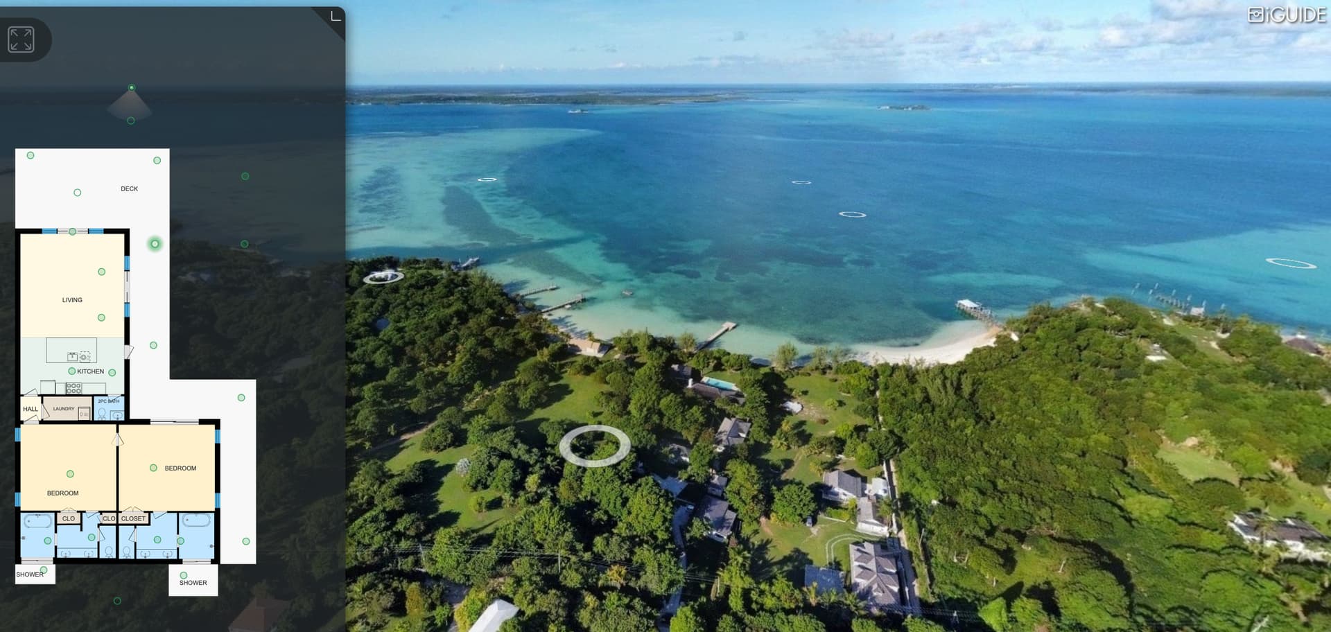
This may be due to having the aerial photo(s) listed on the same “Floor” as the the main floor of the house. I found that the only way the aerial images stand alone is to assign them their own “Floor” in the Stitch program. Problem then becomes how to link up the aerial pano to the house. My current work-around is to put a “pin” graphic on the house then add a “Tag”. The size of those Tags is so damn small though… Here’s an example: https://youriguide.com/9979_welcome_wynd_halfmoon_bay_bc/
1 Like
Problem then becomes how to link up the aerial pano to the house.
That’s what I run into as well when adding aerial panos as separate floors. It’s not intuitive or pretty doing it this way.
There needs to be a better way to deal with aerial panos on iGuide tours.
You’ve done a great job putting that drone pano together. I like how it’s setup.
I agree that It would be nice to have an option to turn off the circles on a drone pano while placing them on the same floor of a scan. Perhaps a circle that ‘returns’ a user to the previous pano placed at the bottom of the camera view. Where the logo branding normally sits.